Lord of Maps
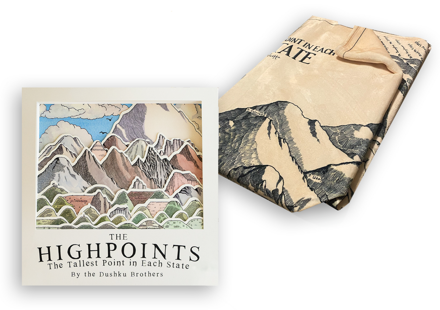
Highpoints Book
Highpoints Book
Couldn't load pickup availability
Introduction
Do the mountains call to you? Do you heed that call? Do you wish you heeded it more often but find yourself contented to look at maps, watch videos, or read books about the majestic mountains? If you said yes or no to any, all, or none of these questions, this book is for you.
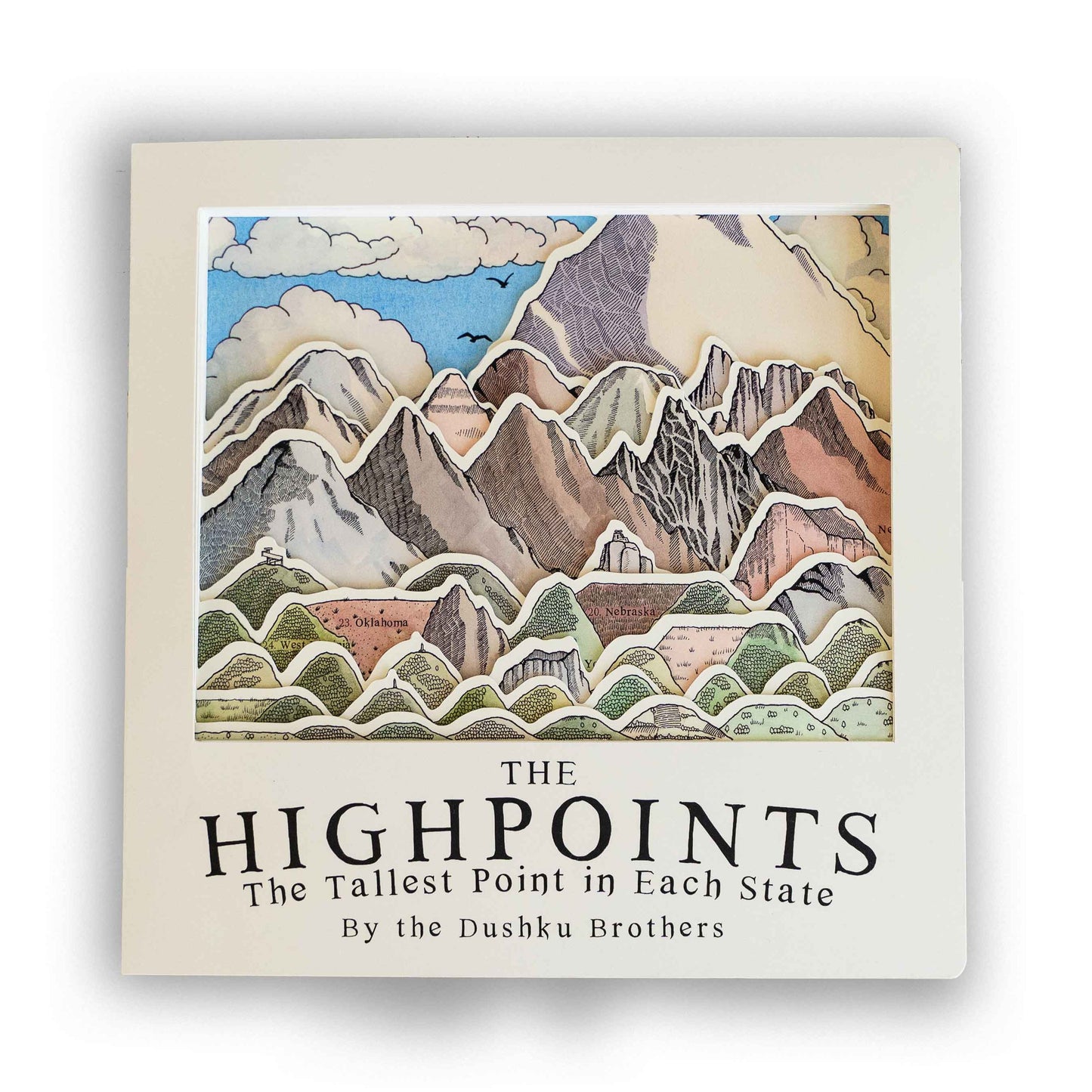
Join a wise tortoise as he walks you through the beauty of the tallest mountain in each of the 50 United States.
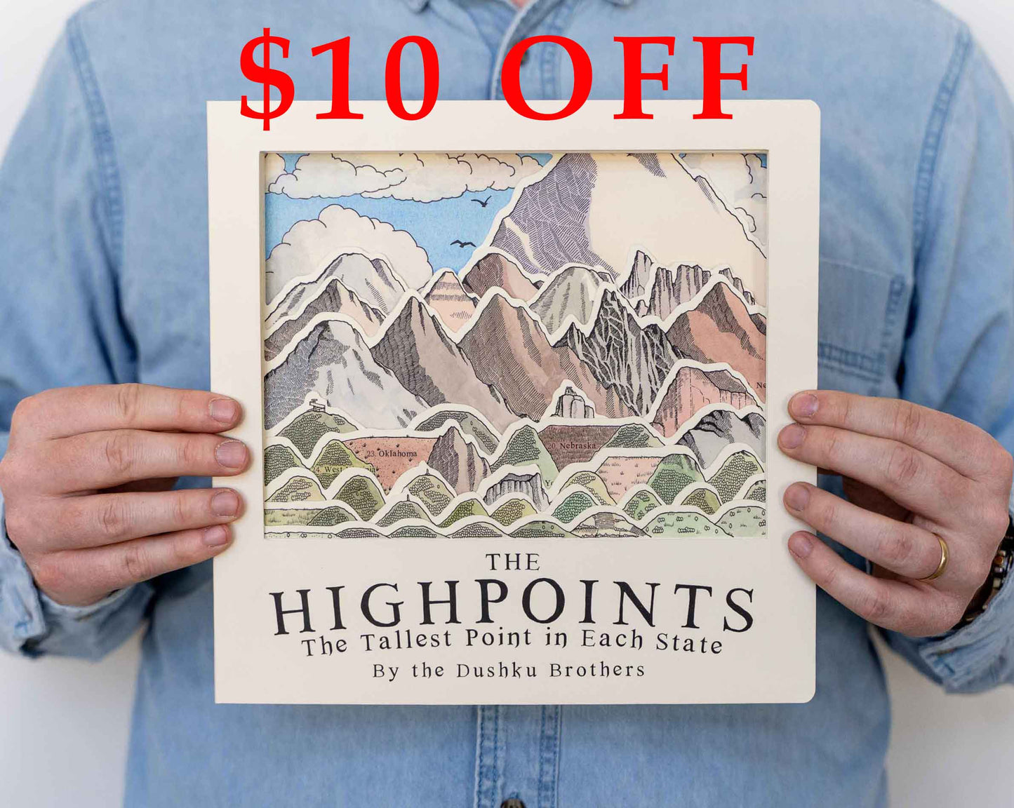
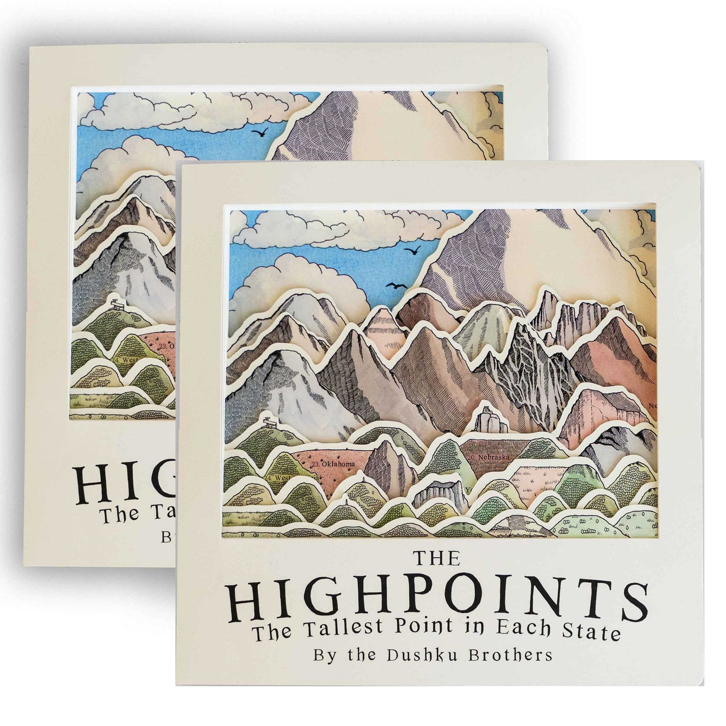
The Highpoints: The Tallest Point in Each State beautifully combines the love for maps, mountains, adventure, and the joy of experiencing those three things from the comfort of your couch.
The Book
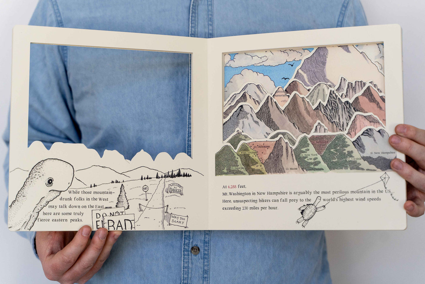
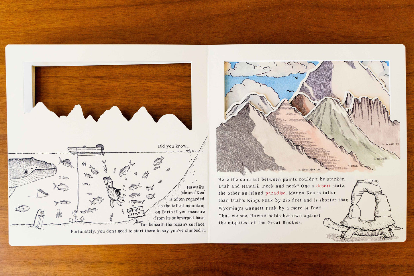
This book is the only book in the world where you can see all 50 highpoints at one glance. You can compare the mighty Denali (Alaska's tallest mountain) with the tiny Britton Hill (Florida's tallest peak). Compare East vs. West: Appalachians vs. Rockies. And even see how "flat" Kansas and Nebraska really are.
How is this even possible? This book uses advanced technology called "Cut-outs." A window is cut out of each page, so you can see the pages behind. It's not actually an advanced technology but gives the book a 3D feel to it. The smaller mountains are closer to the reader, and the larger mountains are further away.


This idea and design was all inspired by a simple drawing I did back in November 2022.
Mountain map success
Last year, I drew a map that would soon change my life. The Mountain Map.
I created this map because I thought the idea was awesome. I looked it up and nobody had ever attempted it. Finding that pretty bizarre, I figured somebody has to do it.
When the map was completed, I made a video showing it off. That's when things went crazy.
Over 22 Million people saw this map, and it was shared over 100,000 times! I went from making maps for fellow nerds to making Mountain Posters for hardcore hikers. Fortunately, those two worlds have now blended.
Book Details
This is a Board Book, meaning the pages are made from thick cardstock. The same material that baby books are made from.
The added rigidity makes the "cut-outs" possible.
Here are some specifications
- 10 inches by 10 inches
- 22 Pages
- Ages 6+ (This isn't dumbed down)
- The illustrations are all done by hand
- Even the font was created by me.
Why?
I've dreamed of writing with my two brothers. This project comes from the mind and heart of me and my bros. We've put bits of our childhood, personality, and passion into this book.
And we hope to write more things like this! It would be our dream to have a series of books about the beauty of nature, the mystical mountains, magic, fantasy, and perhaps everything else in between.
Book + Mountain Blanket

- You will be entrusted with the Book, and the envy of all nations: The Mountain Map Blanket. I've been using mine nightly for a few months now and really like it. It's 60 inches by 80 inches. It's basically a tapestry you can sleep with.
Meet the Authors (the Dushku Brothers)
Isaac Dushku of the Woods Cross Realm
I'm Isaac. Some of you know me from the internets as Lord of Maps. I've been drawing maps of places for about 3 years now. Recently I've decided to branch out and test the water by making cool posters and books.
Gideon Dushku of the Centerville Kingdom
Gideon is my little brother, and like all little brothers he is perfectly obedient to his older brother. When I came pounding down his door to write a book together, he promptly agreed.
Despite looking like someone from the Dark Ages, Gideon is one hip dude. Like every Gen Z'er, he has a long moustache and skates.
Alexander Dushku II of the Distant land of Austin Texas
Alex is the much older brother who brings logic and reason to our madness. He is like C3PO but slightly more agile.
